-40%
Explorer on the Northern Plains - Report of Gouverneur Warren : Nebraska Dakota
$ 13.2
- Description
- Size Guide
Description
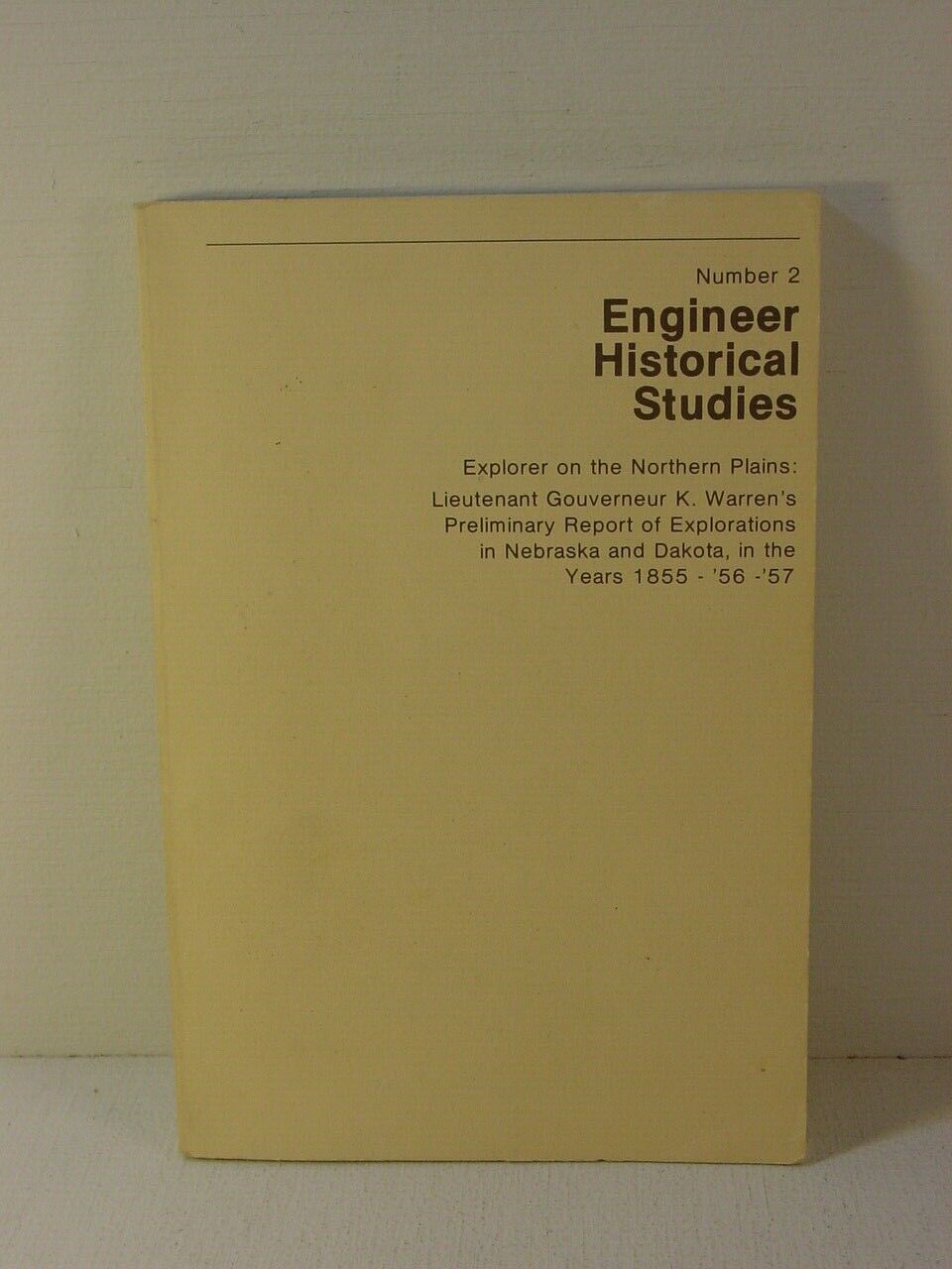
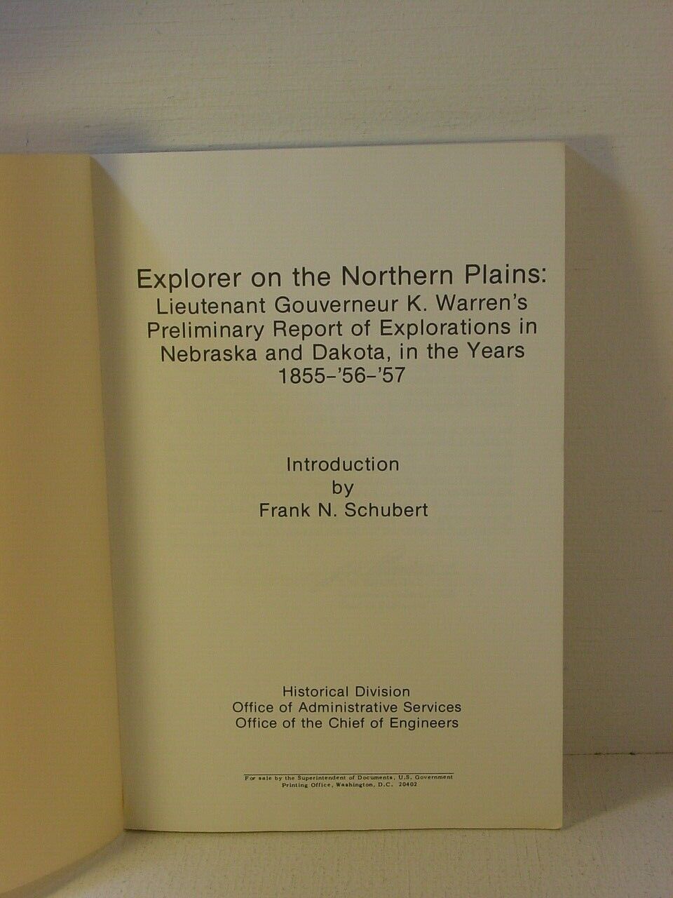
Explorer on the Northern PlainsLieutenant Gouverneur K. Warren's Preliminary Report
of Explorations in Nebraska and Dakota in the years 1855 - 56- 57
-----
Engineer Historical Studies, Number 2
----------------------------------------------
US Army Corps of Engineers - First Edition - 1981
----------------------------------------------
Softcover : Very Good.
Covers have some age wear, but it looks to be unread.
The spine is crisp and uncreased.
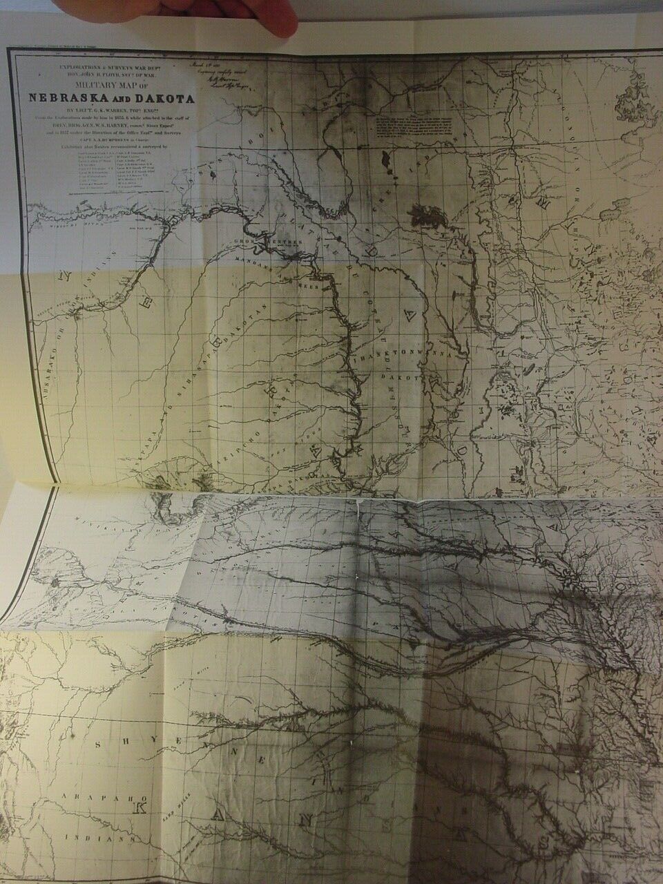
Large Folding Map in back Pocket
125 pages, with portraits and illustrations in the
front that were not part of the original report but
were added by the Corps of Engineers for this publication.
While not part of the original report,
the Corps of Engineers added a bit of information on
some of the Indian fighting of the time and the actions of
General Harney following the "Grattan Massacre."
The information shows some of Warren's interactions
during this time, while he travelled with Harney's men.
While Harney praised Warren for his actions at Blue Water Creek,
where Harney ambushed the Indians involved in the Grattan Massacre.
Warren made no mention of that in his notes.
Rather, he noted his efforts to help wounded Indians after
the fighting was over ...
================================
From the Preface :
This is the second publication in the new series of Corps of
Engineers Historical Studies. Like the first, it features the report of
an Engineer explorer.
Unlike its predecessor, it reproduces a once published narrative, one that frontiersmen heading into the Dakota
country to pan for gold used as a guidebook.
Warren's report presents the northern plains from a variety of
perspectives. On his first exploration, he accompanied a military
expedition against the Sioux. The second time, he reconnoitered
major streams from the decks of river boats. On his last trip, he rode
into the heart of the Black Hills homeland of the Sioux. From data
acquired on these journeys, he wrote his narrative with its details
about the land, its fauna and flora, and its people. Warren's report
captures for all time the northern plains at an early stage of
settlement. It also illuminates the role of the Corps of Engineers in
westward expansion.
From the beginning of the original report :
The return in November last of the expedition commanded by Lieut. G. K. Warren, Topographical Engineers, after the successful execution of the duties intrusted to him of reconnaissance and exploration in Nebraska, has been already reported. The maps have been completed, all the necessary calculations of the astronomical and barometrical observations made, and the reports in relation to the different objects of the expedition are in an advanced state.
The principal objects of the expedition were to ascertain the best route by which to continue to the South Pass the military road now constructing from the Mississippi River to Sioux City, on the Missouri, and to examine in this connection the valley of the Loup Fork of the Platte, and that of the Niobrara, and to make such reconnaissance of the Black Hills, about the sources of the Big Cheyenne, as circumstances would permit, to determine their character, especially with reference to the future military operations that may be carried on in this Territory. In accomplishing these objects, the expediti9n would obtain information of the character and resources of the country, its adaptability to settlement and cultivation, and would develop its geography and geology along the routes pursued, nearly all of which were previously
unexplored
by white men.
The preliminary report of Lieutenant Warren is herewith presented. The routes reconnoitered and mapped in 1857 are from Sioux City to the month of Loup Fork ; thence up this stream to its source in the Sand Hills; and thence by the Niobrara to Fort Laramie. From this point the party proceeded north, and carefully examined the Black Hills, and, returning to the Niobrara, explored this stream to its junction with the Missouri; and also a route from the mouth of Turtle Hill River to Fort Randall. Finally, the road from Fort Randall to Sioux City was
surveyed
.
With the report on these routes Lieutenant Warren combines that of the routes examined by him in 1856, under orders from General Harney, of which examinations no report has heretofore been presented. In that year he made a careful reconnaissance of the Missouri River, from the southern boundary of Nebraska to a point sixty miles above the month of the Yellowstone, and of this latter stream to Powder River. 6 EXPLORATIONS IN NEBRASKA AND DAKOTA.
The routes explored, including those of 1858, (of which a report bas been rendered and printed,) all lie east of the 106th meridian. They lead once through the Sand Hills north and south, and twice east· and west, almost around the Black Hills, and through the valleys of the following rivers, viz: the Platte, Loup Fork, Niobrara, White Earth, Big Cheyenne, Missouri, Yellowstone, and James rivers.
===================================
Thank you for supporting independent booksellers !
(not bulk resellers who don't know the first thing about what they are selling !)
I pride myself on knowing my stock,
accurate descriptions, and good packing !!!
The Rock Top Book Shop and Bindery
Cashtown, Pennsylvania
======================================
Thanks for Looking !!!
----------------------------------------------------------
Postage is free
(within Continental US - others at cost)
either by media mail or priority depending upon the final sale price of the items(s).
I always include delivery confirmation, and will insure more expensive packages at my cost.
Check my other auctions for Civil War related books, documents, and ephemera,
plus the occasional other book or curiosity - mostly military related.
